Offices:
Welcome to
West Philadelphia
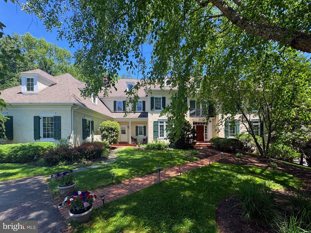
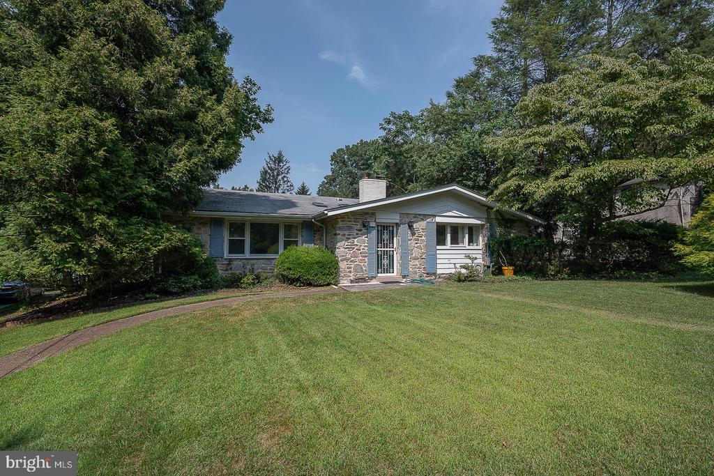
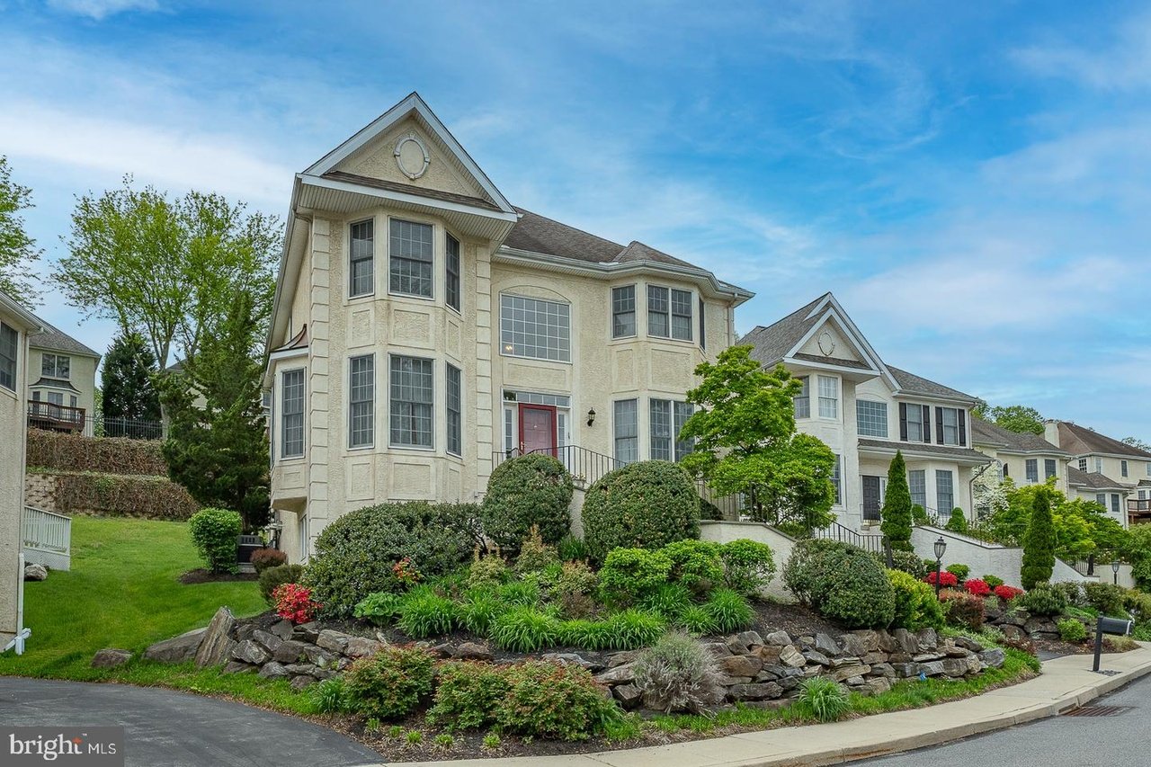
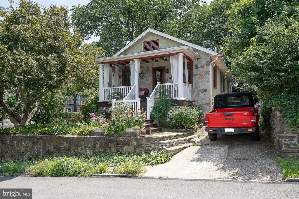
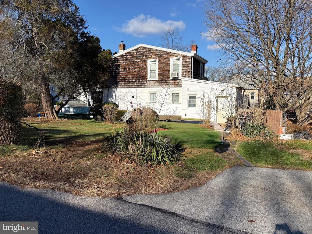
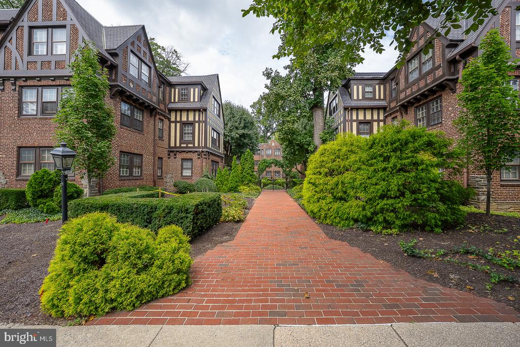
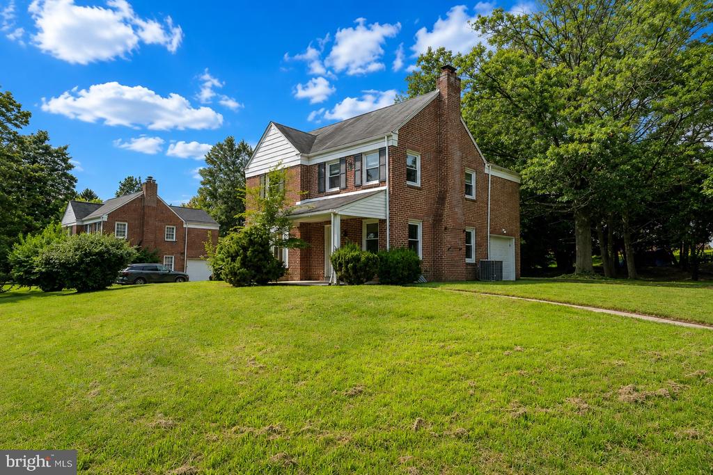
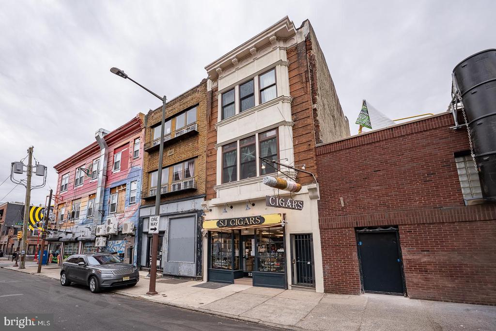
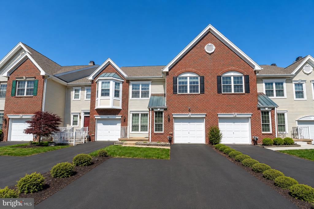
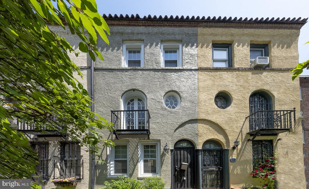
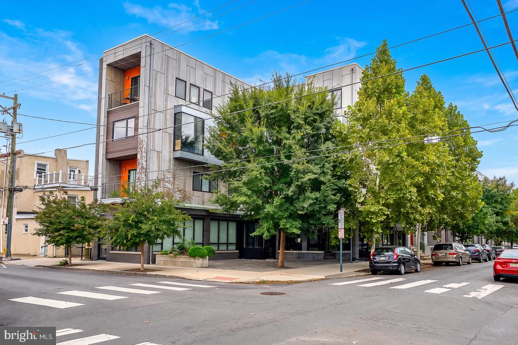
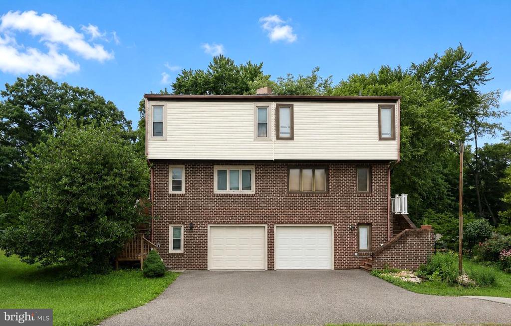
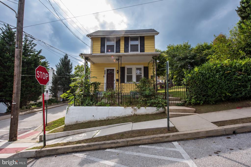
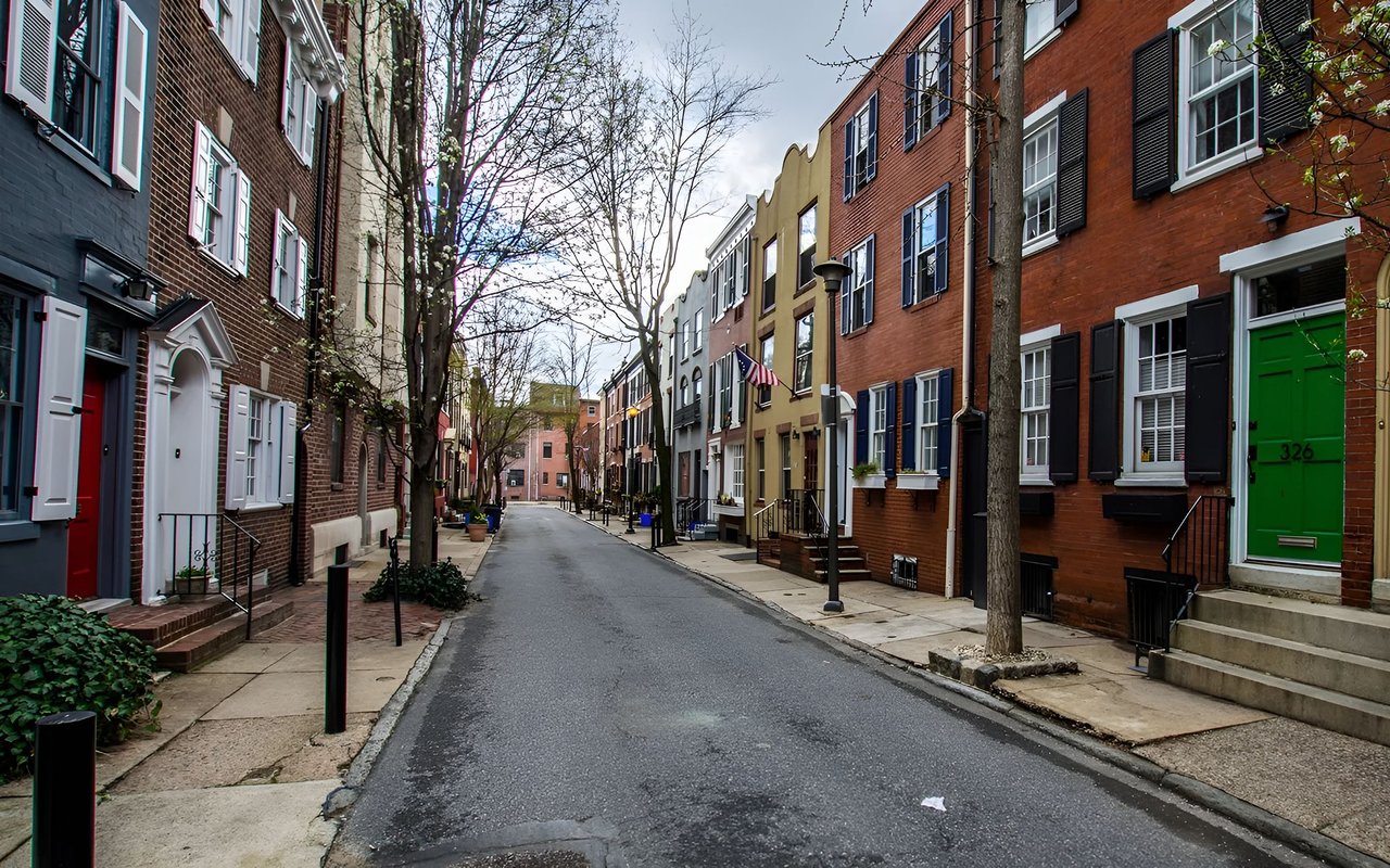
Most of the houses in West Philadelphia are rowhouses. There are areas of semi-detached and detached houses.
West Philadelphia, nicknamed West Philly, is a section of Philadelphia, Pennsylvania. Though there is no official definition of its boundaries, it is generally considered to reach from the western shore of the Schuylkill River, to City Line Avenue to the northwest, Cobbs Creek to the southwest, and the SEPTA Media/Elwyn Line to the south.
An alternate definition includes all city land west of the Schuylkill; this would also include Southwest Philadelphia and its neighborhoods.
According to the 2010 census, 216,433 people live among the ZIP codes of 19104, 19131, 19139, 19143 and 19151.
The Woodlands Cemetery, which is located near the west bank of the Schuylkill River, was originally the estate of Andrew Hamilton who bought the property in 1735. In 1840, the property was transformed into a cemetery with an arboretum of over 1,000 trees. It holds the graves of many famous Philadelphians.
Satterlee Hospital, one of the largest Union Army hospitals of the Civil War, operated from 1862 to 1865; part of its grounds are now the northern section of Clark Park.
West Philadelphia's population expanded in the late 19th and early 20th centuries, thanks in large part to horsecars, then streetcars, and Schuylkill River bridges that allowed middle-class breadwinners to commute into the Central Business District a few miles to the east. West Philadelphia was among the early streetcar suburbs, and a portion of it is listed on the National Register of Historic Places as the West Philadelphia Streetcar Suburb Historic District.
The western portion of the neighborhood was once home to some of the most expensive real estate in the country (and much striking Victorian-era architecture remains). The area has declined in prominence over the last 50 years, thanks in part to increasing crime and the migration of many middle and upper-class residents to suburbs and other sections of the city.
In recent years, parts of West Philadelphia have undergone "Penntrification," a term that reflects the University of Pennsylvania's role in gentrification of the neighborhood; including a campaign to rename part of the area University City (the designation now appears on maps as well as public street signs and government listings). Many young professionals and families have moved into the area.
West Philadelphia drew national attention in 1978 and 1985 for violent clashes between police and an Afro-centric, back-to-nature group called MOVE. During the latter confrontation, police firebombed the group's headquarters, killing 11 and destroying an entire block of Osage Avenue and Pine Street.
Most of the houses in West Philadelphia are rowhouses, although there are areas of semi-detached and detached houses. The earliest developments began in 1850 and the final period of mass construction ended in 1930. Development was enabled by the creation of the horsecar, which pushed development to about 43rd Street, and, after the arrival of the electrified streetcar in 1892, accelerated to the west and southwest.
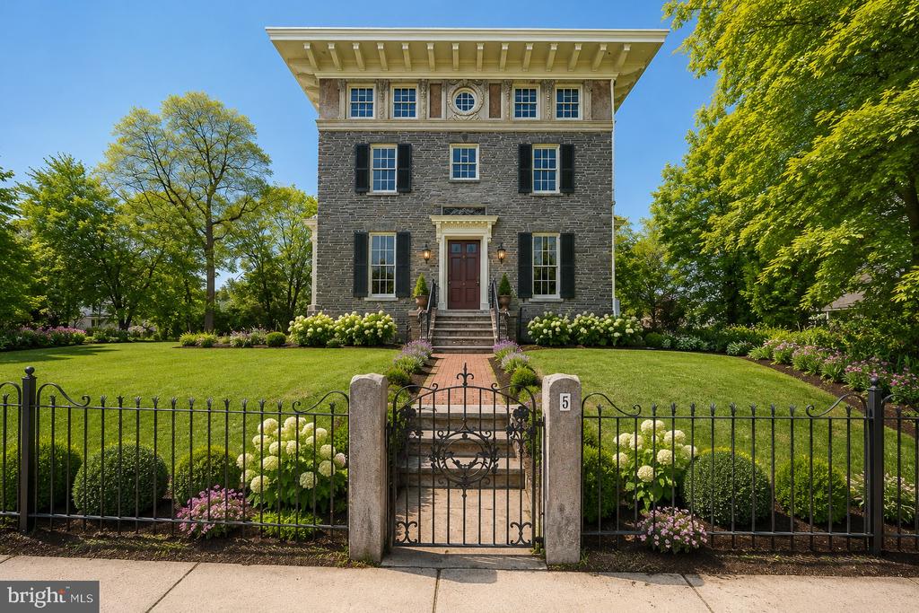
Initial development was divided into block lots and sold in 1852 with the condition that "substantial stone or brick buildings" be erected. The houses in this grouping are primarily three-story Italianate buildings, linked by material, decorative detail, and form. Located around Chester Avenue, an additional but smaller and less ornate 16 Italianate, brownstone, semi-detached houses, similar in form to the initial houses. The setback of these houses was 25 feet, allowing generous front yards.
Another development on Locust Street, a project by banker and West Philly resident Clarence Howard Clark, was composed of three-story, two-bay, brick, restrained Queen Anne rowhouses. The street was unified by front yards, and enclosed by decorative iron fences. The houses melded the suburban principles of front porches and greenspace with the urban rowhouse form, producing profitable, yet desirable, middle-class suburban housing.
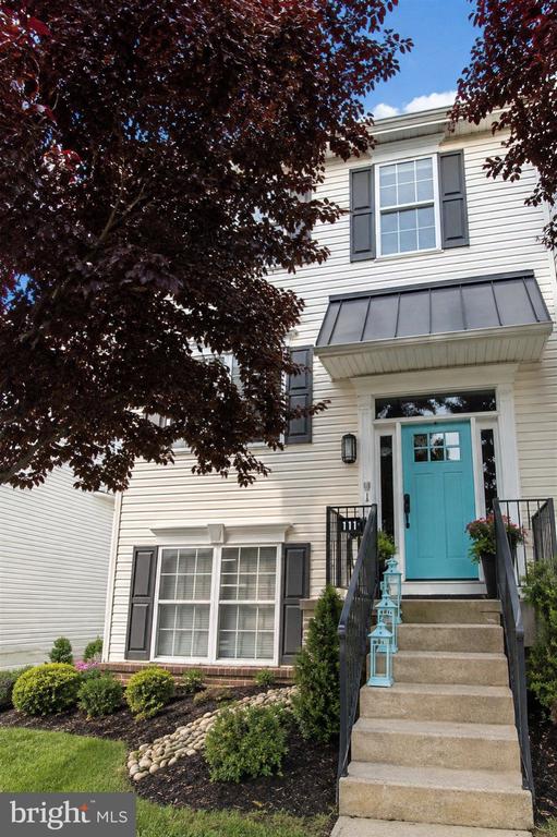
Other developments introduced urban density and architectural uniformity: the Queen Anne style with columned porches and decorative spindlework, brickwork and corbelling; steeply pitched gables with fishscale slate shingles; turrets; balconies; and windows with a single pane surrounded by small panes. These houses are typical of the early 20th-century developments in West Philadelphia, and are unified by rhythmic patterning of porch and gable features. The second story, projecting, semi-hexagonal bay is incorporated into this design, an element which defines the later rowhouses.
One of West Philadelphia's most prominent features is the "El", or SEPTA's Market-Frankford Line or Blue Line. Completed in 1907, this elevated subway line linked West Philadelphia, Millbourne and Upper Darby to Center City and then later to Frankford.
SEPTA'S Route 34 trolley in the 4500 block of Baltimore Avenue.
Another major transit link in West Philadelphia are the five Subway Surface Lines, often called the Green Lines for their representation on SEPTA route maps. These include five of Philadelphia's remaining six streetcar lines. Combined, these trolley routes convey more than 150,000 passengers daily, and operate 24-hour schedules, even in blizzards.
A SEPTA Media/Elwyn Line Silverliner IV at 30th Street Station
West Philadelphia is also served by five of SEPTA's eight Regional Rail Lines, which transport thousands of commuters daily to and from of Center City and University City, and provide a quick and inexpensive link to the Philadelphia International Airport. The Airport Line serves University City at University City Station in the University of Pennsylvania, going on to southern-most Southwest Philadelphia and the airport. The Media/Elwyn Line also serves University City and portions of Southwest Philadelphia before continuing to Media and points beyond.
West Philadelphia's streets are laid out in a modified "grid" pattern. Market Street is the central main thoroughfare running East and West, with "tree" streets above and below, also running East to West. The North-South streets are numbered consecutively starting with 30th street at the Schuylkill River through to 77th street on the far Western edge in Overbrook near Cobbs Creek, and extending to 90th Street in Southwest Philly near the airport, which is only one block long and is not in a residential area.
The area's public schools are operated by the School District of Philadelphia.
West Philadelphia High School was one of the biggest and most diverse schools in state when it was opened in 1911. The students of "West" were the children of middle-class blacks, as well as of Irish, Jewish, Polish and other immigrant groups.
Other high schools include University City High School; William L. Sayre High School, formerly Sayre Middle School; Robert E. Lamberton High School; Mastery Charter Shoemaker Campus, formerly William Shoemaker Middle School; and Overbrook High School.
Elementary schools include Morton McMichael Elementary School and Lea Elementary School.Harrity Elementary School is a district-owned school operated by Mastery Charter Schools.
Blocks away from "West" were the West Philadelphia Catholic High Schools for Girls at 46th Street and Boys at 48th Street, now consolidated into West Philadelphia Catholic High School in the building at 46th Street. St. Thomas More High School for Boys at 47th and Wyalusing Avenue was closed in 1975 and now houses the Sr Clara Muhammad School.
West Philadelphia is the home to several universities, including the University of Pennsylvania, Drexel University, the University of the Sciences in Philadelphia, and Saint Joseph's University.
The area gained some fame through the theme song to the NBC sitcom The Fresh Prince of Bel-Air in which Wynnefield native Will Smith raps, "In West Philadelphia, born and raised"
The NBC drama American Dreams is set in West Philadelphia in the mid-1960s.
West Philadelphia was also the home of American Bandstand. The popular dance show and career starter for host Dick Clark was produced at television station WFIL-TV (Channel 6, now WPVI-TV) in "Studio 'B'", which was located in their just-completed addition at 4548 Market Street. The show featured local high school students, turning some into teen idols. The former television station is now home to the West Philadelphia Enterprise Center, although the large satellite dish on the roof still remains.
213,225 people live in West Philadelphia, where the median age is 34 and the average individual income is $28,575. Data provided by the U.S. Census Bureau.
Total Population
Median Age
Population Density
Average individual Income
There's plenty to do around West Philadelphia, including shopping, dining, nightlife, parks, and more. Data provided by Walk Score and Yelp.
Explore popular things to do in the area, including Al Eman Meat Market, Happy Family Chinese Restaurant, and Fruits & vegetable Truck.
| Name | Category | Distance | Reviews |
Ratings by
Yelp
|
|---|---|---|---|---|
| Dining · $$$$ | 0.29 miles | 4 reviews | 3.5/5 stars | |
| Dining | 0.34 miles | 0 reviews | 0/5 stars | |
| Dining | 0.35 miles | 0 reviews | 0/5 stars | |
| Dining | 0.39 miles | 0 reviews | 0/5 stars | |
| Dining | 0.58 miles | 0 reviews | 0/5 stars | |
| Dining | 0.6 miles | 0 reviews | 0/5 stars | |
| Dining | 0.85 miles | 0 reviews | 0/5 stars | |
| Dining · $ | 0.87 miles | 12 reviews | 2.8/5 stars | |
| Dining | 0.93 miles | 0 reviews | 0/5 stars | |
| Dining | 0.93 miles | 0 reviews | 0/5 stars | |
| Dining | 0.95 miles | 0 reviews | 0/5 stars | |
| Dining | 0.96 miles | 0 reviews | 0/5 stars | |
| Shopping | 0.87 miles | 0 reviews | 0/5 stars | |
| Shopping | 0.87 miles | 0 reviews | 0/5 stars | |
| Active | 0.84 miles | 0 reviews | 0/5 stars | |
| Nightlife | 0.53 miles | 0 reviews | 0/5 stars | |
| Nightlife | 0.79 miles | 1 review | 5/5 stars | |
| Beauty | 0.04 miles | 0 reviews | 0/5 stars | |
| Beauty | 0.59 miles | 0 reviews | 0/5 stars | |
| Beauty | 0.59 miles | 0 reviews | 0/5 stars | |
| Beauty | 0.78 miles | 6 reviews | 1/5 stars | |
| Beauty | 0.87 miles | 0 reviews | 0/5 stars | |
| Beauty | 0.93 miles | 0 reviews | 0/5 stars | |
| Beauty | 0.96 miles | 0 reviews | 0/5 stars | |
|
|
||||
|
|
||||
|
|
||||
|
|
||||
|
|
||||
|
|
West Philadelphia has 88,783 households, with an average household size of 2. Data provided by the U.S. Census Bureau. Here’s what the people living in West Philadelphia do for work — and how long it takes them to get there. Data provided by the U.S. Census Bureau. 213,225 people call West Philadelphia home. The population density is 25,296 and the largest age group is Data provided by the U.S. Census Bureau.
Total Population
Population Density Population Density This is the number of people per square mile in a neighborhood.
Median Age
Men vs Women
Population by Age Group
0-9 Years
10-17 Years
18-24 Years
25-64 Years
65-74 Years
75+ Years
Education Level
Total Households
Average Household Size
Average individual Income
Households with Children
With Children:
Without Children:
Blue vs White Collar Workers
Blue Collar:
White Collar:
Explore Other Neighborhoods
OFFICES:
OFFICES: