Offices:
Welcome to
Washington Square West
Located in the district and separately listed are the Clinton Street Historic District and Portico Row.
The name "Washington Square West" came into official use in the late 1950s and early 1960s as part of Edmund Bacon's comprehensive plan for Center City. In this plan, the south-east quadrant of center city was split into Washington Square East (more commonly known as Society Hill) and Washington Square West. Both neighborhoods were scheduled for urban renewal by Philadelphia's City Planning Commission and Redevelopment Authority. After a period of decline in the early 20th century, city officials hoped that redevelopment would clean up the neighborhood and clear blighted areas.
After large-scale renewal of Washington Square East/Society Hill in the early 1960s, the Philadelphia Redevelopment Authority turned to Washington Square West. In the late 1960s, the Redevelopment Authority bought and demolished buildings and, by the mid 1970s, owned one fifth of the neighborhood. By this time, however, federal money available for urban renewal had declined and the city was no longer able to fund the renewal of Washington Square West. Buildings razed by the city in the 1960s and 1970s were left as empty lots and the neighborhood was left in a state of decline. Through the late 1970s and 1980 began a slow recovery without the aid of the large-scale redevelopment that had occurred in Society Hill. The 1990s saw a shift in the neighborhood as Mayor Ed Rendell encouraged investment in Center City and gentrification began to take hold. By the end of the 1990s and early 2000s, the neighborhood had transformed into an economically vital community.
The Washington Square West Historic District was added to the National Register of Historic Places in 1984. The 61-acre (250,000 m2) area encompasses 450 contributing buildings. Located in the district and separately listed are the Clinton Street Historic District, Roberts-Quay House, and Portico Row.
Washington Square West is a neighborhood in downtown, or Center City, Philadelphia, Pennsylvania. The neighborhood roughly corresponds to the area between 7th and Broad Streets and between Chestnut and South Streets, bordering on the Independence Mall tourist area directly northeast, Market East to the northwest, Old City and Society Hill to the East, Bella Vista directly south, Hawthorne to the southwest, and mid-town Philadelphia and Rittenhouse Square to the west. In addition to being a desirable residential community, it is considered a hip, trendy neighborhood that offers a diverse array of shops, restaurants, and coffee houses. The area takes its name from Washington Square, a historic urban park in the northeastern corner of the neighborhood.
Philadelphia's Antique Row lies in the area as does the nation's oldest hospital, Pennsylvania Hospital. Educational and medical facilities associated with, Thomas Jefferson University, a leading regional medical university and health care center, are located within the neighborhood. The one-time headquarters of the former Curtis Publishing Company and the University of the Arts lie at the edges of the neighborhood.
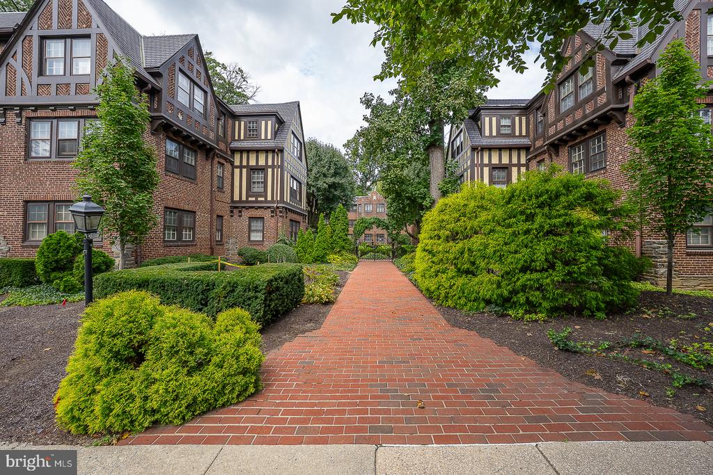
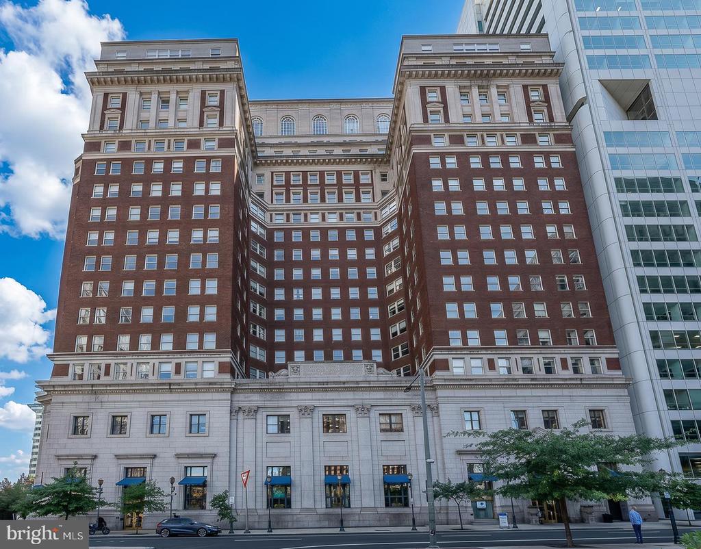
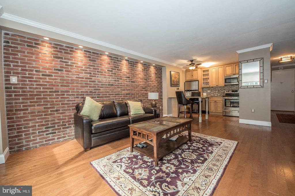
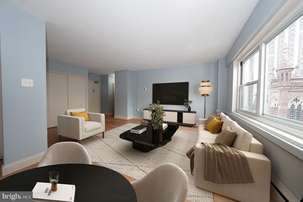
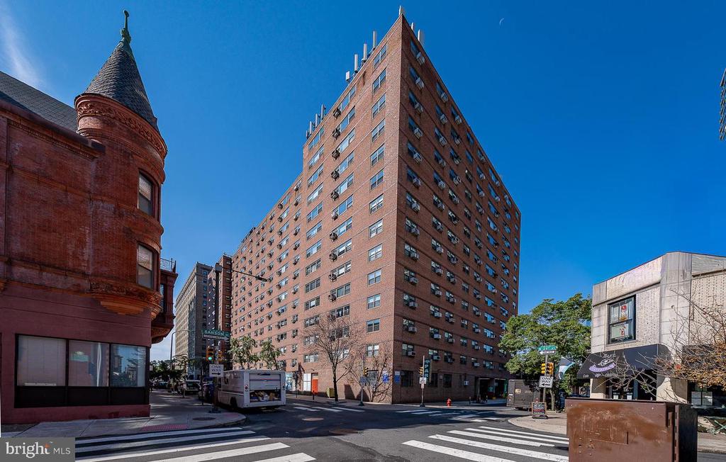
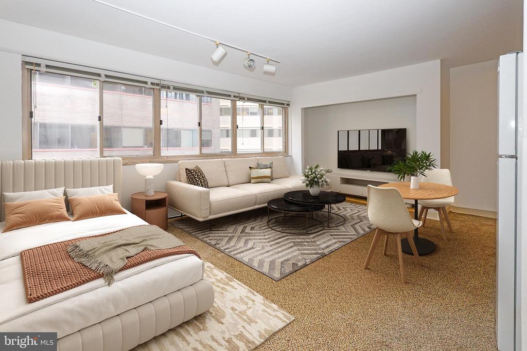
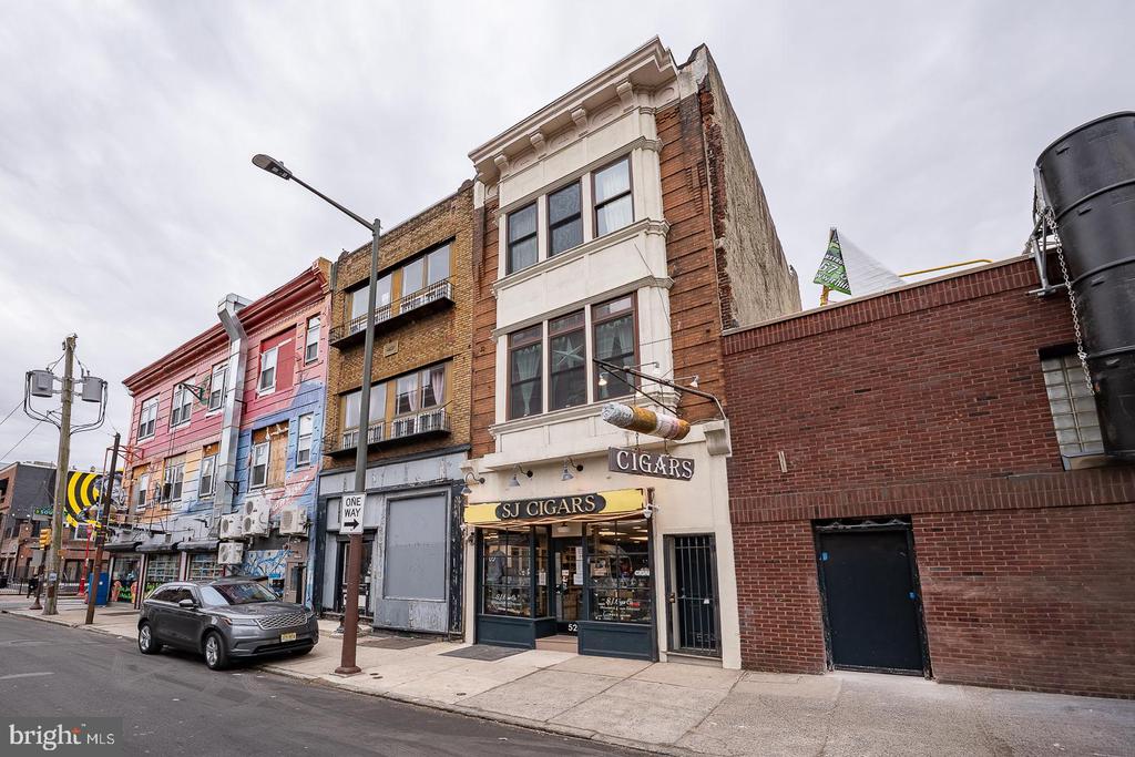
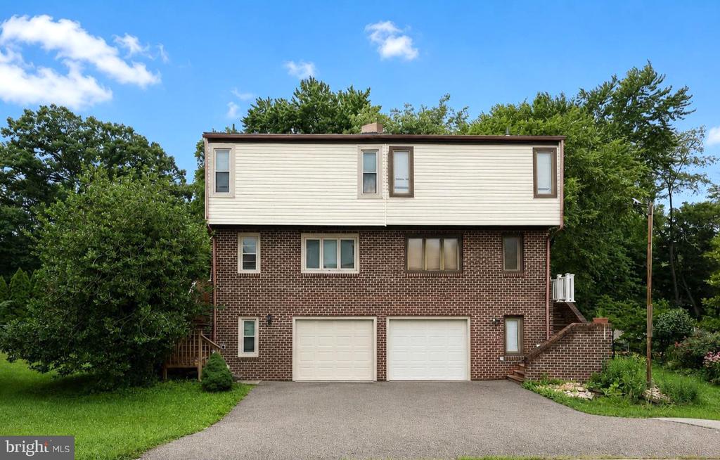
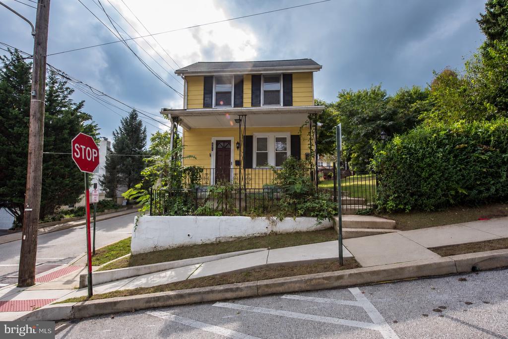
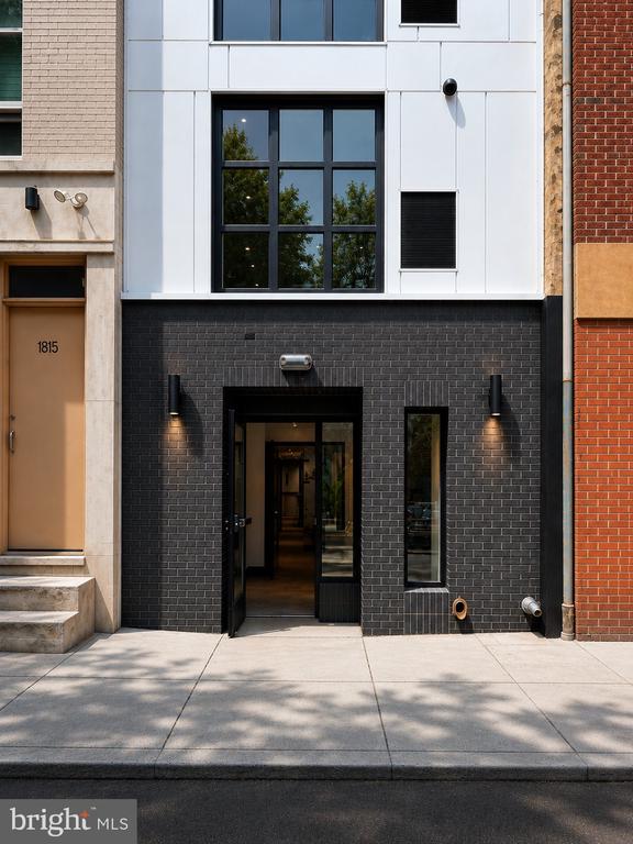
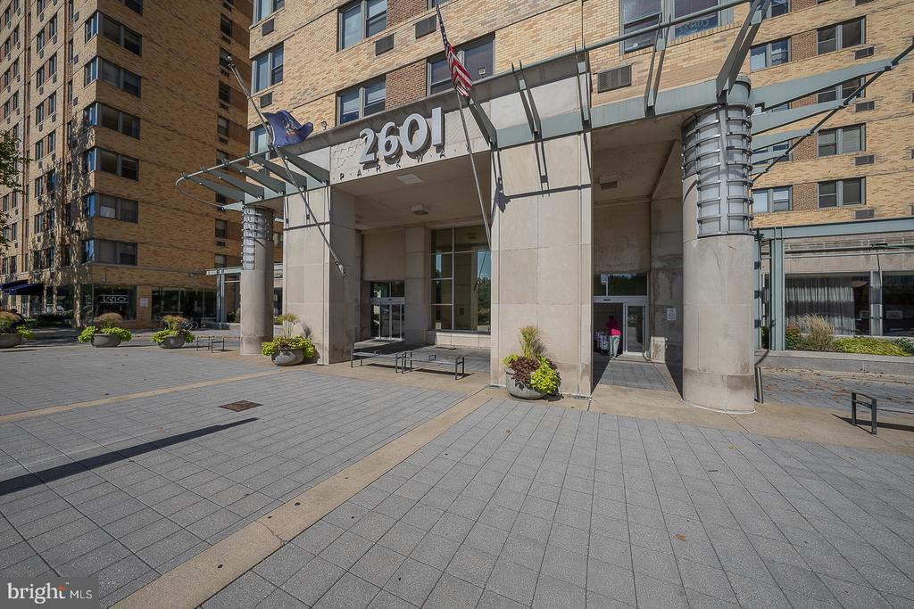
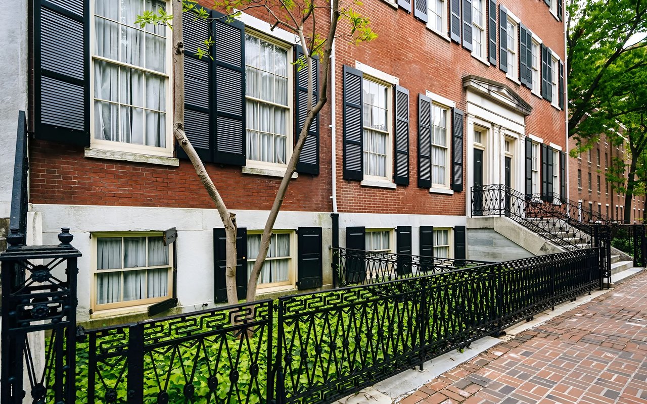
Washington West's real estate is mixed commercial, residential and service industries, characterized by two, three, and four-story rowhouses interspersed with condominiums, mid-rise apartments, hospitals and offices with ground-floor retail. The neighborhood follows William Penn's original grid layout for the city, with many one-lane and pedestrian side streets added later as the population became more dense. In addition to the block sized Washington Square Park to the East, the neighborhood contains the smaller Kahn Park, named after the Philadelphia architect Louis Kahn.
14,127 people live in Washington Square West, where the median age is 33 and the average individual income is $79,957. Data provided by the U.S. Census Bureau.
Total Population
Median Age
Population Density
Average individual Income
There's plenty to do around Washington Square West, including shopping, dining, nightlife, parks, and more. Data provided by Walk Score and Yelp.
Explore popular things to do in the area, including Cosmi Bakery, Easy Pickins, and HolisticKonnect.
| Name | Category | Distance | Reviews |
Ratings by
Yelp
|
|---|---|---|---|---|
| Dining | 0.41 miles | 0 reviews | 0/5 stars | |
| Shopping | 0.24 miles | 11 reviews | 2.5/5 stars | |
| Active | 0.2 miles | 0 reviews | 0/5 stars | |
| Active | 0.47 miles | 0 reviews | 0/5 stars | |
| Beauty | 0.27 miles | 0 reviews | 0/5 stars | |
| Beauty | 0.27 miles | 0 reviews | 0/5 stars | |
| Beauty | 0.41 miles | 0 reviews | 0/5 stars | |
|
|
||||
|
|
||||
|
|
||||
|
|
||||
|
|
||||
|
|
Washington Square West has 8,598 households, with an average household size of 2. Data provided by the U.S. Census Bureau. Here’s what the people living in Washington Square West do for work — and how long it takes them to get there. Data provided by the U.S. Census Bureau. 14,127 people call Washington Square West home. The population density is 51,162 and the largest age group is Data provided by the U.S. Census Bureau.
Total Population
Population Density Population Density This is the number of people per square mile in a neighborhood.
Median Age
Men vs Women
Population by Age Group
0-9 Years
10-17 Years
18-24 Years
25-64 Years
65-74 Years
75+ Years
Education Level
Total Households
Average Household Size
Average individual Income
Households with Children
With Children:
Without Children:
Blue vs White Collar Workers
Blue Collar:
White Collar:
Explore Other Neighborhoods
OFFICES:
OFFICES: