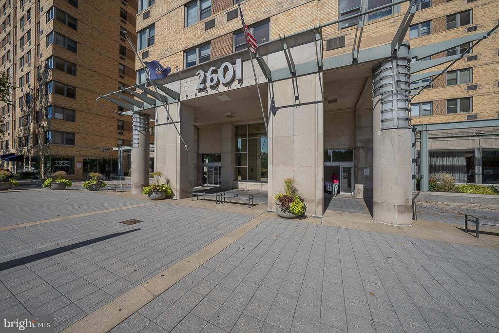
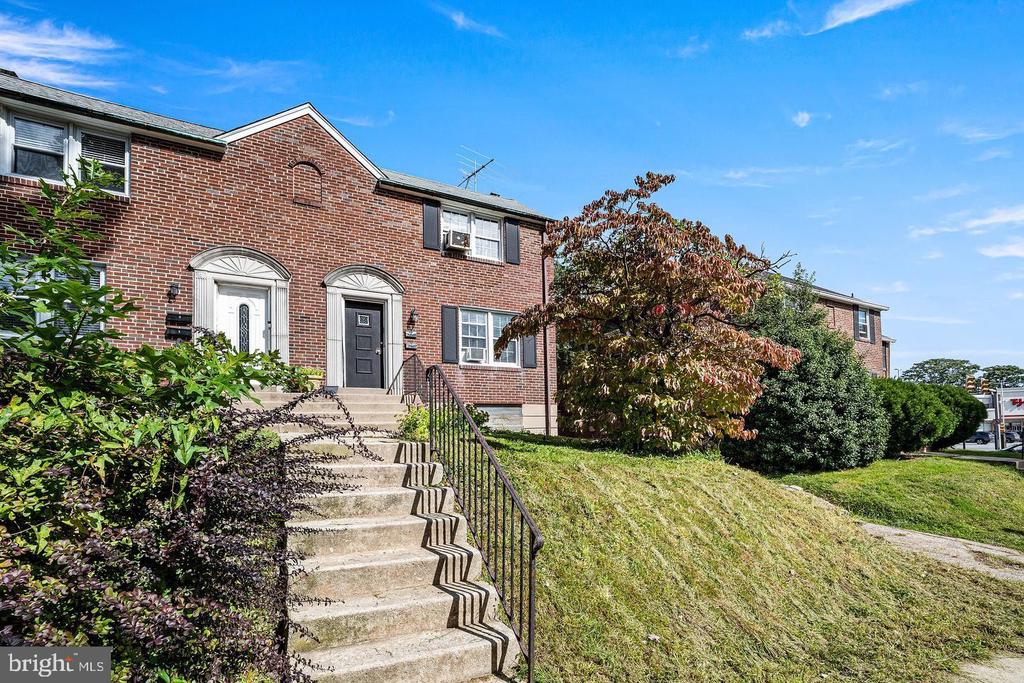
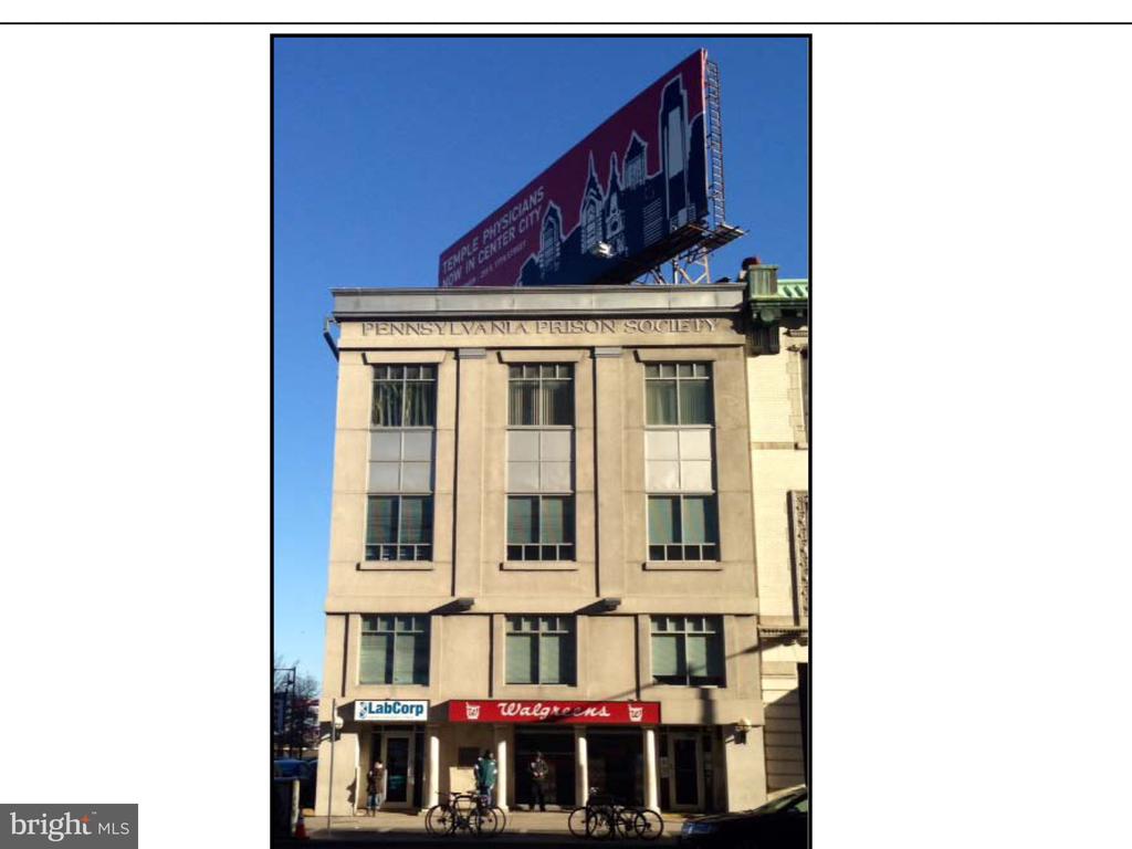
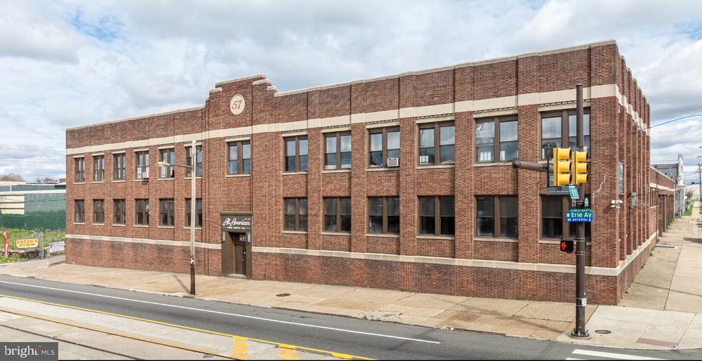
Offices:
Welcome to
University City
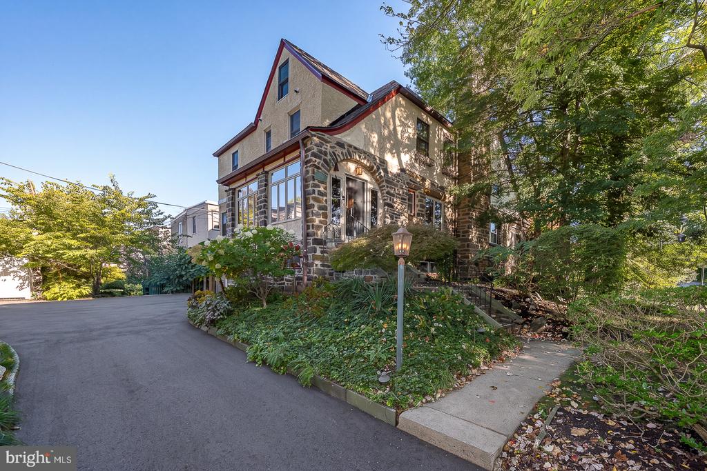
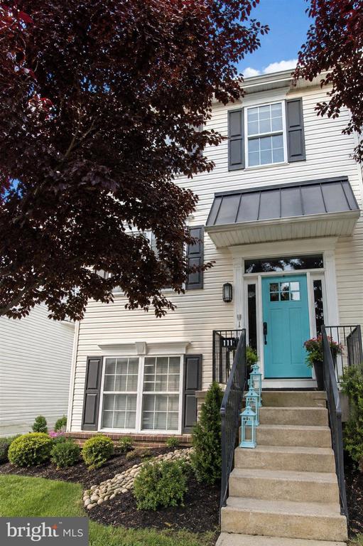
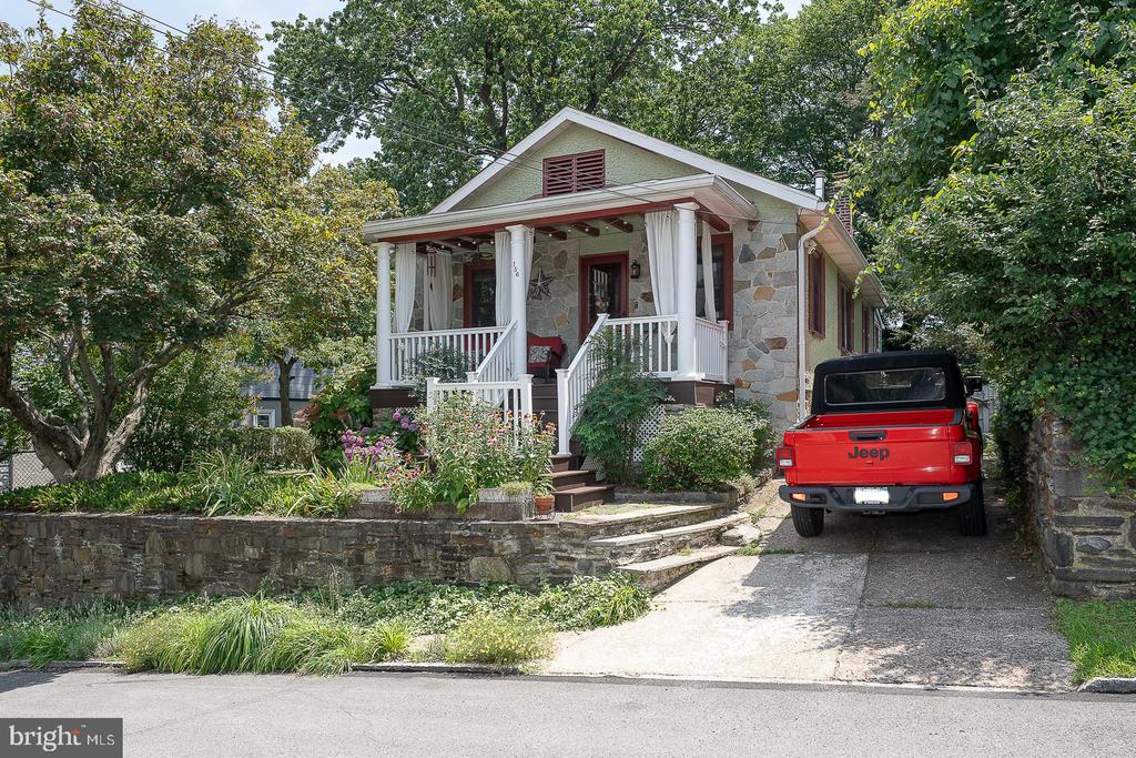
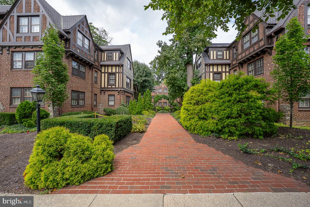
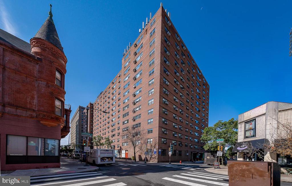
The western side contains Victorian and early 20th-century housing stock and is primarily residential.
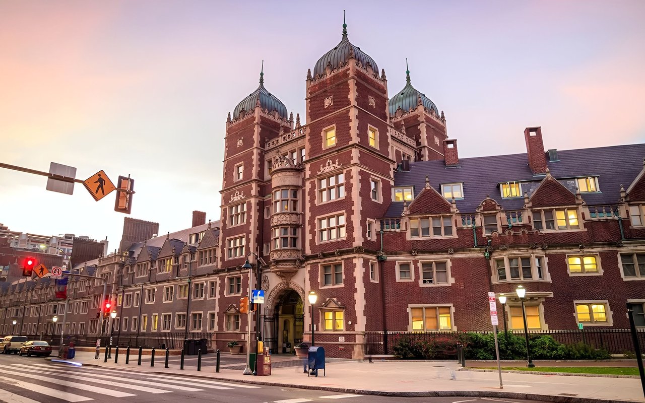
University City is a name for the easternmost region of West Philadelphia. The University of Pennsylvania has long been the dominant institution in the area and was instrumental in coining the name University City as part of a 1950s urban-renewal effort. Today, Drexel University, University City Science Center, and the University of the Sciences in Philadelphia also call University City home.
The eastern side of University City is home to the Penn and Drexel campuses, several medical institutions, independent centers of scientific research, 30th Street Station, and the Cira Centre. The western side contains Victorian and early 20th-century housing stock and is primarily residential.
The area is ethnically and economically diverse, although the compositions of its 12 census tracts vary widely; for example, the population in the mid-2000s of the easternmost tract was about half white and one-third Asian, while that of the northwesternmost tract was almost entirely black.
University City's boundaries, as defined by the non-profit University City District organization and the City of Philadelphia, are the Schuylkill River to the east; Spring Garden Street, Powelton Avenue, and Market Street to the north; 52nd Street to the west; and Woodland Avenue, University Avenue, and Civic Center Boulevard to the south. Within these boundaries are the local neighborhoods of Cedar Park, Garden Court, Spruce Hill, Squirrel Hill, Powelton Village, Walnut Hill, and Woodland Terrace. The boundaries also encompass several historic districts and the ZIP codes 19104, 19139, and 19143.
It is the third-largest business district in the commonwealth of Pennsylvania.
As part of the Housing Act of 1949, Congress established the "Slum Clearance and Community Development and Redevelopment" program, commissioning federal funds to "assist local communities in eliminating their slums and blighted areas and in providing the maximum opportunity for the redevelopment of project areas by private enterprise." A few years prior, in 1945, the Redevelopment Authority of the City of Philadelphia (RDA) was formed with the power to acquire and redevelop land through condemnation proceedings. This power to take land reached University City when The West Philadelphia Corporation (WPC) was formed in 1959 by a group of local institutions including Penn. By 1965, the WPC had developed a massive plan to demolish homes and redevelop the land as a center of private scientific research. Within four years, the University City Science Center had been established and most of the buildings on Market St. between 34th St. and 40th St. had been demolished.
Over the course of 1968 to 1970 and with the assistance of the local redevelopment authorities, Penn acquired, cleared and redeveloped the 4 block area between 38th, 40th, Spruce, and Walnut streets. This area became known as "Superblock" and its primary features are three high-rise apartment-style dormitories. The key purpose of creating these high-rises was to accommodate 3,500 more students at the University. The whole superblock project and especially the high-rise design have been widely criticized, but this view is not held by everyone.
Beginning in 1991, Penn publicly expressed official interest in acquiring the 19.2 acres (78,000 m2) to the southeast of its campus occupied by the Philadelphia Civic Center complex. After the opening of the Pennsylvania Convention Center in 1992, the Civic Center was mostly unused. In 1998, a City Council resolution was put forth to turn over much of this property to Penn and CHOP. The initial plans were not fully developed, but did not call for the demolition of Convention Hall, the location of several historic events. By 2005, plans had been expanded and the whole site, including Convention Hall, was slated for demolition to make way for a new clinical care facility attached to the hospital. Many local preservationists were opposed to this. Some were mollified by an exhaustive study commissioned by Penn to find alternate uses for the buildings and demolition continued. The last remaining building in the complex, Pennsylvania Hall, was demolished on March 3, 2007. Penn's Perelman Center for Advanced Medicine was officially opened on October 2, 2008.
In 2007, Penn bought 24 acres (97,000 m2) between its campus and the Schuylkill river, an area formerly occupied by the United States Postal Service known as the Postal Lands. (This 1994 map shows the area before the GE building was refurbished into the Left Bank and the Cira Centre was built. According to plans in the works since 2005, Penn officials intend to build several facilities and to connect its campus with the riverfront and Center City. New buildings will include office buildings, parking garages, hotel and conference spaces and more green space on campus. A walkway will extend from Locust Walk and connect to Center City via a pedestrian bridge over the Schuylkill River. Construction began in 2007. The first of four stages will cost an estimated $1.94 billion, including about $194 million from city taxpayers. In addition, the former post office is to be turned into office space for the Internal Revenue Service.
On November 6, 2008, Cira Center developer Brandywine Realty Trust said that it has postponed part of its Cira 2 mixed-use development because of the 2008 financial crisis. The larger tower, Cira Centre South, remains under construction with a planned completion date of 2011
Public (School District of Philadelphia)
Private
Parochial
University of Pennsylvania institutions include:
18,699 people live in University City, where the median age is 23 and the average individual income is $17,380. Data provided by the U.S. Census Bureau.
Total Population
Median Age
Population Density
Average individual Income
There's plenty to do around University City, including shopping, dining, nightlife, parks, and more. Data provided by Walk Score and Yelp.
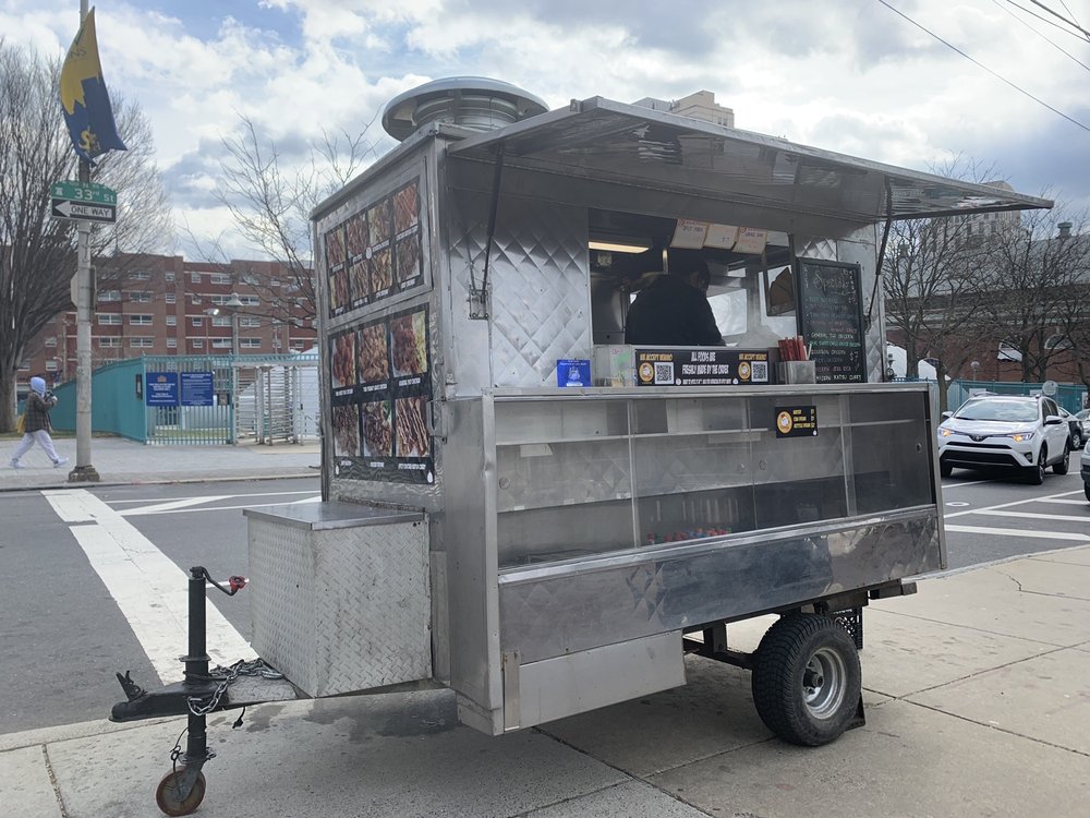
Explore popular things to do in the area, including t.uni tea cafe, John's Lunch Cart, and Handschumacher Dining Center.
| Name | Category | Distance | Reviews |
Ratings by
Yelp
|
|---|---|---|---|---|
| Dining | 0.08 miles | 5 reviews | 3.2/5 stars | |
| Dining · $ | 0.13 miles | 1 review | 4/5 stars | |
| Dining · $$ | 0.27 miles | 6 reviews | 2.8/5 stars | |
| Dining | 0.3 miles | 0 reviews | 0/5 stars | |
| Dining · $ | 0.37 miles | 3 reviews | 4.7/5 stars | |
| Dining | 0.4 miles | 2 reviews | 5/5 stars | |
| Dining | 0.42 miles | 0 reviews | 0/5 stars | |
| Dining | 0.52 miles | 0 reviews | 0/5 stars | |
| Dining · $ | 0.65 miles | 1 review | 4/5 stars | |
| Active | 0.32 miles | 2 reviews | 3.5/5 stars | |
| Active | 0.36 miles | 0 reviews | 0/5 stars | |
| Active | 0.54 miles | 48 reviews | 4/5 stars | |
| Beauty | 0.55 miles | 0 reviews | 0/5 stars | |
| Beauty | 0.61 miles | 0 reviews | 0/5 stars | |
|
|
||||
|
|
||||
|
|
||||
|
|
||||
|
|
||||
|
|
University City has 4,077 households, with an average household size of 1. Data provided by the U.S. Census Bureau. Here’s what the people living in University City do for work — and how long it takes them to get there. Data provided by the U.S. Census Bureau. 18,699 people call University City home. The population density is 34,464 and the largest age group is Data provided by the U.S. Census Bureau.
Total Population
Population Density Population Density This is the number of people per square mile in a neighborhood.
Median Age
Men vs Women
Population by Age Group
0-9 Years
10-17 Years
18-24 Years
25-64 Years
65-74 Years
75+ Years
Education Level
Total Households
Average Household Size
Average individual Income
Households with Children
With Children:
Without Children:
Blue vs White Collar Workers
Blue Collar:
White Collar:
Explore Other Neighborhoods
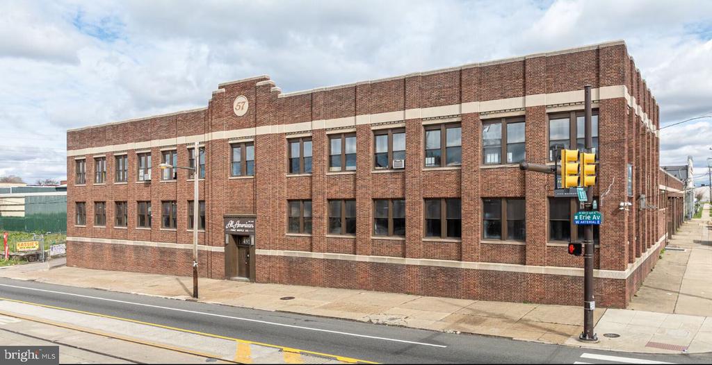
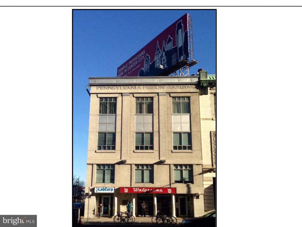
OFFICES:
OFFICES: