Offices:
Welcome to
Swarthmore
The Ogden House and Benjamin West Birthplace are listed on the National Register of Historic Places.
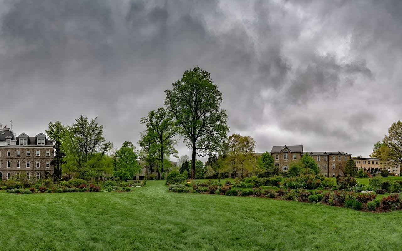
Swarthmore is a borough in Delaware County, Pennsylvania, United States. Swarthmore was originally named Westdale in honor of noted painter Benjamin West, who was one of the early residents of the town. The name was changed to Swarthmore after the establishment of Swarthmore College. "Swarthmore" can be pronounced with the first "r" either vocalized or dropped due to differences in rhotic and non-rhotic accents. The borough population is 6,194 as of the 2010 census. The borough was originally part of Springfield Township, and grew up around Swarthmore College, which was founded in 1864. The advent of passenger rail service from Philadelphia in the 1880s greatly enhanced the desirability of the borough as a commuter suburb, and the borough was incorporated in 1893.
The Ogden House and Benjamin West Birthplace are listed on the National Register of Historic Places.
Swarthmore is located at 39°54′6″N 75°20′49″W (39.901788, -75.347083). According to the United States Census Bureau, the borough has a total area of 1.4 square miles (3.6 km2), all of it land.
Swarthmore Station, a SEPTA Regional Rail train station on the Media/Elwyn Line, sits between the college and the town's center.
SEPTA Route 109 bus connecting Chester, Pennsylvania with Upper Darby, PA stops along Chester Road.
10,363 people live in Swarthmore, where the median age is 35.3 and the average individual income is $60,661. Data provided by the U.S. Census Bureau.
Total Population
Median Age
Population Density
Average individual Income
There's plenty to do around Swarthmore, including shopping, dining, nightlife, parks, and more. Data provided by Walk Score and Yelp.
Explore popular things to do in the area, including Baskin-Robbins, Showcase Comics and Games, and Revolution Martial Arts Institute.
| Name | Category | Distance | Reviews |
Ratings by
Yelp
|
|---|---|---|---|---|
| Dining · $ | 0.32 miles | 6 reviews | 2.5/5 stars | |
| Shopping | 0.57 miles | 19 reviews | 3.4/5 stars | |
| Active | 0.57 miles | 2 reviews | 5/5 stars | |
| Beauty | 0.29 miles | 88 reviews | 4.5/5 stars | |
| Beauty | 0.31 miles | 0 reviews | 0/5 stars | |
|
|
||||
|
|
||||
|
|
||||
|
|
||||
|
|
||||
|
|
Swarthmore has 3,727 households, with an average household size of 2.35. Data provided by the U.S. Census Bureau. Here’s what the people living in Swarthmore do for work — and how long it takes them to get there. Data provided by the U.S. Census Bureau. 10,363 people call Swarthmore home. The population density is 4,793 and the largest age group is Data provided by the U.S. Census Bureau.
Total Population
Population Density Population Density This is the number of people per square mile in a neighborhood.
Median Age
Men vs Women
Population by Age Group
0-9 Years
10-17 Years
18-24 Years
25-64 Years
65-74 Years
75+ Years
Education Level
Total Households
Average Household Size
Average individual Income
Households with Children
With Children:
Without Children:
Blue vs White Collar Workers
Blue Collar:
White Collar:
Explore Other Neighborhoods
OFFICES:
OFFICES: