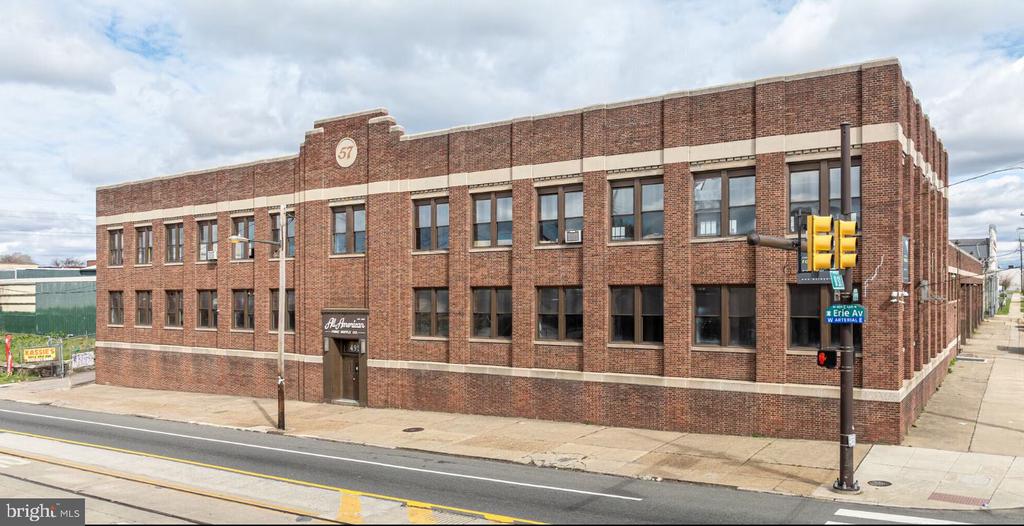
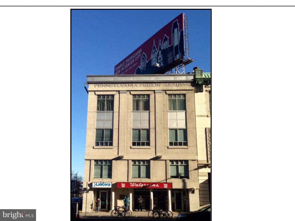
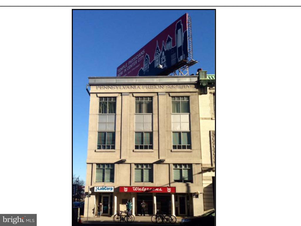
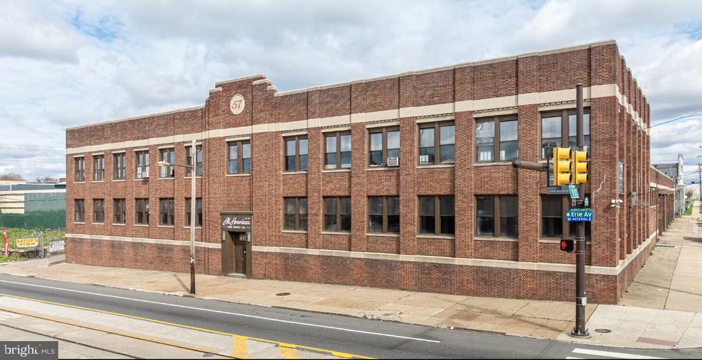
Offices:
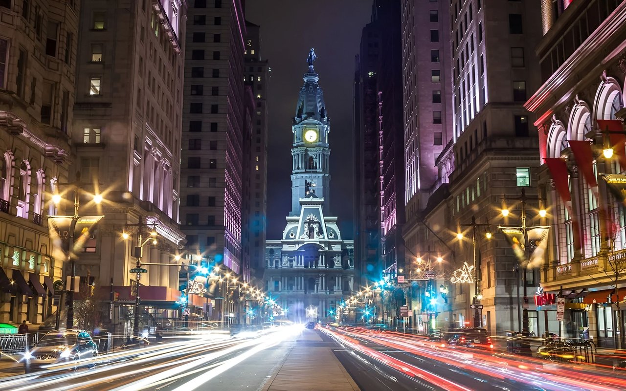
Welcome to
South Philadelphia
Began as a satellite town of Philadelphia, with small townships such as Moyamensing and Southwark.
South Philadelphia began as a satellite town of Philadelphia, with small townships such as Moyamensing and Southwark. During the Industrial Revolution, the area saw rapid growth, in part due to mass immigration from Ireland. Its urbanized border reached that of Philadelphia. Along with all other jurisdictions in the county, South Philadelphia became part of the City of Philadelphia proper with passage by the Pennsylvania legislature of the city/county Act of Consolidation, 1854. The area continued to grow, becoming a vital part of Philadelphia's large industrial base and attracting immigrants from Italy, Ireland, Poland, and many other countries during the 19th and early 20th centuries, as well as Black American migrants from the southern United States during the Great Migration of the early 20th century. The immigrants and migrants became the basis of South Philadelphia's unique and vibrant culture that developed over the next several decades. Struggling to maintain their Catholic identity in a mostly Protestant city, the Irish built a system of Irish Catholic churches and parochial schools for their children, and added Catholic high schools. The later immigrant populations of Italians and Polish were also Catholic. At first they attended the existing churches but built their own national churches when they could. Ethnic Irish controlled the Catholic clergy and hierarchy for decades in Philadelphia and the region. Despite the dramatic growth in population, the low funding of education by the city resulted in the first public high school not being formed in South Philadelphia until 1934. Attracted to the industrial jobs, the new residents created communities that continued many of their traditions.
Most of South Philadelphia's communities are largely Italian American. There also continue to be many ethnic Irish Americans and African Americans. An increase in late 20th-century immigration has given South Philadelphia significant populations from Asia: Vietnam, Cambodia, and Thailand; as well as from Russia and Mexico, and smaller groups from dozens of nations across the world. Today, many vendors at the Italian Market are of Asian descent, and Vietnamese and Thai restaurants are interspersed with historic Italian ones in the Market area. The recent revitalization of Center City Philadelphia and the subsequent gentrification of adjacent neighborhoods has led to dramatic rises in prices of housing in the neighborhoods of historic Queen Village, Bella Vista, and some other parts of South Philadelphia.
In 2010, the area's population was 168,782. It is home to a diverse population of Italian Americans, Irish Americans, African Americans, Indonesian Americans, Vietnamese Americans, Chinese Americans, Mexican Americans, and Central Americans, as well as many newer immigrants. Many residents have lived in the neighborhood for decades. Many family-owned businesses are found in South Philadelphia.
On January 22, 2010 the Associated Press said "South Philadelphia has been growing more diverse for decades, but the last 20 years have seen the greatest influx of Asian and Hispanic families." David Elesh, a Temple University urban sociologist, said that of the almost 60,000 Philadelphia residents who reported being born in China, many lived in South Philadelphia.
As of the 2010 Census, there are 168,782 people in 78,440 housing units. The population density is 16,771 people per square mile. 46.6% of the population is male, and 53.4% is female. The South Philadelphia area comprises the zip codes of 19145, 19146, 19147, and 19148.
I-95 runs north and south through South Philadelphia and, in this area, provides commuters with access to Philadelphia International Airport, I-76, the South Philadelphia Sports Complex, and the Walt Whitman Bridge. The Girard Point Bridge section of I-95 crosses over the mouth of the Schuylkill River, where it merges with the Delaware River. I-76 becomes the Schuylkill Expressway at Passyunk Avenue in South Philadelphia and allows access between this section of the city and University City, Center City, 30th Street Station, and the western suburbs. In addition, PA Route 291 serves as a major artery between the area and Delaware County, crossing the Schuylkill River via the Platt Bridge (named for Medal of Honor recipient George C. Platt). Broad Street is part of PA Route 611.
Residents are with the School District of Philadelphia's South District. Zoned public high schools in South Philadelphia include South Philadelphia High School, Audenried High School, and Furness High School. The Philadelphia High School for the Creative and Performing Arts (CAPA), a magnet school, is in South Philadelphia. The Mastery Charter Schools system operates the Thomas School (grades 7-12) in South Philadelphia. It was formerly the district school Thomas Middle School.
Saints John Neumann and Maria Goretti Catholic High School is in South Philadelphia. It is a merger of the former Saint John Neumann High School and the Saint Maria Goretti High School. Philadelphia Free School is also located in the area.
Free Library of Philadelphia operates six branches in South Philadelphia: Charles Santore, Fumo Family, Queen Memorial, South Philadelphia, Thomas F. Donatucci, Sr. and Whitman. Prior to its 1999 reopening in a new building, the Fumo Branch was known as the Ritner Children's Branch
Perhaps the most famous landmark in South Philadelphia is the South Philadelphia Sports Complex at the corner of Broad Street and Pattison Avenue. Here, the Philadelphia Eagles (professional football), Philadelphia Phillies (professional baseball), Philadelphia 76ers (professional basketball), Philadelphia Flyers (professional ice hockey), Philadelphia Wings (professional lacrosse), Philadelphia Soul (professional arena football), Temple Owls (college football) and the annual Wing Bowl (an event sponsored by the sports talk radio station, 610-WIP) make their home in the massive state-of-the-art sports arenas surrounding the well-known intersection: Citizens Bank Park, Lincoln Financial Field, and the Wells Fargo Center.
The sports complex was once home to Veterans Stadium (The Vet) which stood from 1971 to 2004; JFK Stadium, which stood from 1925 to 1992; and the Specturm, which was in use from 1967 to 2009 and was demolished in 2011. The NovaCare Complex, located on Pattison Avenue just west of the stadium area, serves as the practice facility of the Philadelphia Eagles. They now play at Lincoln Financial Field.
The intersection of 9th Street and Passyunk Avenue is home to the regionally famous Geno's Steaks and Pat's King of Steaks cheesesteak shops, fierce competitors in the local deli market for decades. Also, nearby is the city's open-air Italian Market, specializing in fresh produce, meats, and other foods. It is lined by specialty shops, such as butchers, bakeries and cheese/grocery stores, as well as one for kitchen goods, and new cafes and coffee houses. The area was featured in the film Rocky and its sequels. This is the heart of an annual street festival celebrating the neighborhood's food.
168,702 people live in South Philadelphia, where the median age is 37 and the average individual income is $53,042. Data provided by the U.S. Census Bureau.
Total Population
Median Age
Population Density
Average individual Income
There's plenty to do around South Philadelphia, including shopping, dining, nightlife, parks, and more. Data provided by Walk Score and Yelp.
Explore popular things to do in the area, including Josie's Kitchen, Friends Convenience Store, and Frank's Food Market.
| Name | Category | Distance | Reviews |
Ratings by
Yelp
|
|---|---|---|---|---|
| Dining | 0.08 miles | 1 review | 3/5 stars | |
| Dining · $$ | 0.36 miles | 3 reviews | 2.7/5 stars | |
| Dining | 0.43 miles | 0 reviews | 0/5 stars | |
| Dining | 0.44 miles | 0 reviews | 0/5 stars | |
| Dining | 0.5 miles | 0 reviews | 0/5 stars | |
| Dining | 0.65 miles | 0 reviews | 0/5 stars | |
| Dining | 0.78 miles | 0 reviews | 0/5 stars | |
| Dining | 0.82 miles | 1 review | 2/5 stars | |
| Dining | 0.93 miles | 0 reviews | 0/5 stars | |
| Dining | 1.02 miles | 0 reviews | 0/5 stars | |
| Dining | 1.03 miles | 0 reviews | 0/5 stars | |
| Active | 0.81 miles | 1 review | 5/5 stars | |
| Active | 0.9 miles | 0 reviews | 0/5 stars | |
| Beauty | 0.2 miles | 0 reviews | 0/5 stars | |
| Beauty | 0.49 miles | 0 reviews | 0/5 stars | |
| Beauty | 0.54 miles | 0 reviews | 0/5 stars | |
| Beauty | 0.58 miles | 0 reviews | 0/5 stars | |
| Beauty | 0.61 miles | 4 reviews | 3.5/5 stars | |
| Beauty | 0.66 miles | 2 reviews | 5/5 stars | |
| Beauty | 0.73 miles | 0 reviews | 0/5 stars | |
| Beauty | 0.9 miles | 12 reviews | 3/5 stars | |
| Beauty | 0.93 miles | 0 reviews | 0/5 stars | |
| Beauty | 1.02 miles | 1 review | 5/5 stars | |
| Beauty | 1.03 miles | 0 reviews | 0/5 stars | |
|
|
||||
|
|
||||
|
|
||||
|
|
||||
|
|
||||
|
|
South Philadelphia has 76,148 households, with an average household size of 2. Data provided by the U.S. Census Bureau. Here’s what the people living in South Philadelphia do for work — and how long it takes them to get there. Data provided by the U.S. Census Bureau. 168,702 people call South Philadelphia home. The population density is 32,739 and the largest age group is Data provided by the U.S. Census Bureau.
Total Population
Population Density Population Density This is the number of people per square mile in a neighborhood.
Median Age
Men vs Women
Population by Age Group
0-9 Years
10-17 Years
18-24 Years
25-64 Years
65-74 Years
75+ Years
Education Level
Total Households
Average Household Size
Average individual Income
Households with Children
With Children:
Without Children:
Blue vs White Collar Workers
Blue Collar:
White Collar:
Explore Other Neighborhoods
OFFICES:
OFFICES: