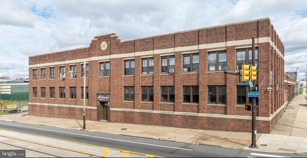
Offices:
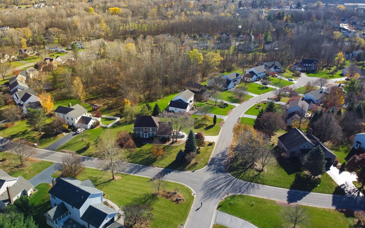
Welcome to
Malvern
The area was originally settled by Welsh immigrants in the 17th century who bought land from William Penn.
Malvern is a borough in Chester County, Pennsylvania, United States. The population was 2,998 at the 2010 census. The town is bordered by Paoli Pike on the south, Sugartown Road on the west, the Willistown Township on the east, and the East Whiteland Township on the north. It is south of US 30 and easily accessible to Route 202. The main road through the Borough is King Street, intersected by Warren Avenue. The Malvern ZIP code covers the Malvern Borough, and all or parts of East Whiteland, Charlestown, Willistown, East Goshen, East Pikeland, and Tredyffrin Townships. Malvern Borough is between Paoli on the east, and Immaculata University and Exton on the west. It is also a train stop on the SEPTA Paoli/Thorndale Line.
Malvern is located at 40°2′4″N 75°30′52″W (40.034557, -75.514396).
According to the United States Census Bureau, the borough has a total area of 1.2 square miles (3.1 km2), all of it land.
The area was originally settled by Welsh immigrants in the 17th century who bought land from William Penn. Malvern is the site of the Paoli Massacre, which occurred September 20, 1777, during the American Revolutionary War under the command of General Anthony Wayne of nearby Easttown. In 1835, the East Whiteland Baptist Church moved to what is now its church and cemetery property, bounded by Channing, South Warren, and East First Avenues, and Roberts Lane. Changing its name to the Willistown Baptist Church, this institution then became the First Baptist Church of Malvern in 1900.
The church, trains, and a few businesses were the nucleus of this village. Known for a long period as West Chester Intersection, the town’s name was changed to Malvern in 1873 when the Pennsylvania Railroad straightened its tracks through the village. In 1879, the Malvern Friends Meeting was built at the northwest corner of Woodland Avenue and Roberts Lane, followed by the arrival of the Presbyterians and the Methodists prior to 1900. Malvern Borough has a mix of residential styles and neighborhoods, retail and industrial businesses, dedicated open land, and numerous civic, cultural, and religious organizations.
Malvern was incorporated August 13, 1889, having separated from the northern portion of Willistown Township. On April 22, 2008, the Borough converted to a Home Rule form of government. In addition to the Paoli Battlefield Site and Parade Grounds, the Wharton Esherick Studio was listed on the National Register of Historic Places in 1973. It was designated a National Historic Landmark in 1993.
The Malvern Business and Professional Association promotes Malvern commerce and the unique character of the town. Siemens Healthcare, Ricoh Americas Corporation (formerly IKON Office Solutions), The Vanguard Group, Liberty Property Trust, and Vishay Intertechnology are among the companies based in Malvern. Fisher Feed and Amerigas were two former employers located on East King Street in the Planning Area #10 of the Malvern Borough Comprehensive Plan. This plan amends a zoning ordinance to provide for redeveloping the land once used by the two former employers. The Malvern Patch, a local newspaper, stated that Kimberton Whole Foods will be opening its fifth location in the East King Street area. The projected occupancy date for the East King Street area is late summer 2013 according to the developer. This development is unrelated to the mixed use development in an area called "Uptown Worthington" which is actually part of East Whiteland.
The Great Valley School District serves as the public education for the borough.
The Borough contains two private schools: Malvern Preparatory School, for 6-12th grades, and the Willistown Country Day School (Montessori), for K-6th. It is also home to a Catholic elementary school for grade K-8, colloquially called St. Patrick's. The St. Patrick School spent the early part of 2012 embattled with the Roman Catholic Archdiocese of Philadelphia over a proposed merger with the St. Monica School of nearby Berwyn, winning their case in March of that year.
Two institutions for higher education include Penn State Great Valley School of Graduate Professional Studies and Immaculata University, both within the Malvern zip code.
28,650 people live in Malvern, where the median age is 41.2 and the average individual income is $84,133. Data provided by the U.S. Census Bureau.
Total Population
Median Age
Population Density
Average individual Income
There's plenty to do around Malvern, including shopping, dining, nightlife, parks, and more. Data provided by Walk Score and Yelp.
Explore popular things to do in the area, including Venus Nutrition Center, Tienda Latina El Venado, and Inter-Continental Health Maintenance.
| Name | Category | Distance | Reviews |
Ratings by
Yelp
|
|---|---|---|---|---|
| Dining | 0.17 miles | 0 reviews | 0/5 stars | |
| Dining | 0.19 miles | 0 reviews | 0/5 stars | |
| Dining | 0.31 miles | 0 reviews | 0/5 stars | |
| Dining | 0.63 miles | 0 reviews | 0/5 stars | |
| Dining · $ | 0.67 miles | 18 reviews | 2.6/5 stars | |
| Shopping | 0.23 miles | 0 reviews | 0/5 stars | |
| Shopping | 0.7 miles | 0 reviews | 0/5 stars | |
| Active | 0.17 miles | 0 reviews | 0/5 stars | |
| Active | 0.17 miles | 0 reviews | 0/5 stars | |
| Active | 0.2 miles | 0 reviews | 0/5 stars | |
| Active | 0.29 miles | 0 reviews | 0/5 stars | |
| Active | 0.3 miles | 0 reviews | 0/5 stars | |
| Active | 0.42 miles | 0 reviews | 0/5 stars | |
| Active | 0.48 miles | 1 review | 3/5 stars | |
| Active | 0.52 miles | 0 reviews | 0/5 stars | |
| Active | 0.63 miles | 0 reviews | 0/5 stars | |
| Active | 0.68 miles | 0 reviews | 0/5 stars | |
| Beauty | 0.31 miles | 0 reviews | 0/5 stars | |
| Beauty | 0.41 miles | 0 reviews | 0/5 stars | |
| Beauty | 0.63 miles | 0 reviews | 0/5 stars | |
| Beauty | 0.71 miles | 0 reviews | 0/5 stars | |
| Beauty | 0.71 miles | 0 reviews | 0/5 stars | |
|
|
||||
|
|
||||
|
|
||||
|
|
||||
|
|
||||
|
|
Malvern has 11,240 households, with an average household size of 2.54. Data provided by the U.S. Census Bureau. Here’s what the people living in Malvern do for work — and how long it takes them to get there. Data provided by the U.S. Census Bureau. 28,650 people call Malvern home. The population density is 748 and the largest age group is Data provided by the U.S. Census Bureau.
Total Population
Population Density Population Density This is the number of people per square mile in a neighborhood.
Median Age
Men vs Women
Population by Age Group
0-9 Years
10-17 Years
18-24 Years
25-64 Years
65-74 Years
75+ Years
Education Level
Total Households
Average Household Size
Average individual Income
Households with Children
With Children:
Without Children:
Blue vs White Collar Workers
Blue Collar:
White Collar:
Explore Other Neighborhoods
OFFICES:
OFFICES: