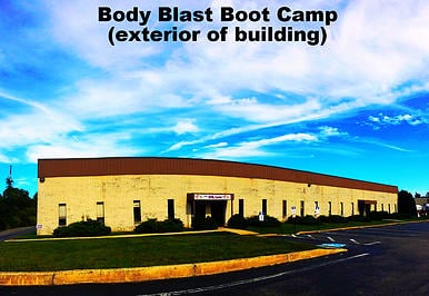
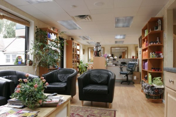
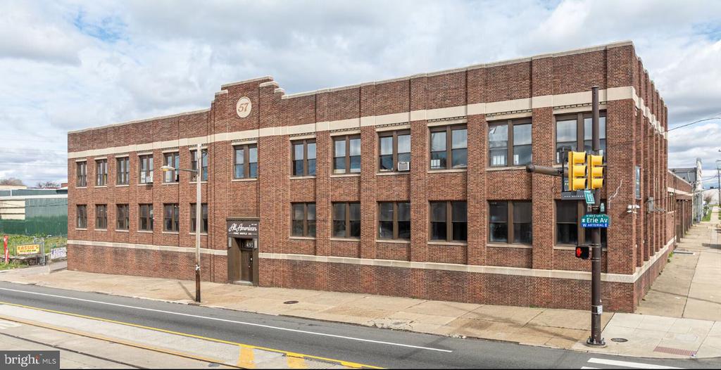
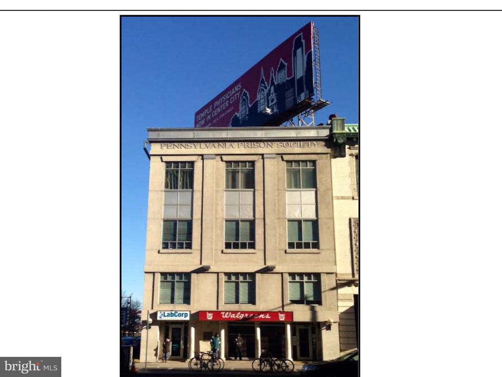
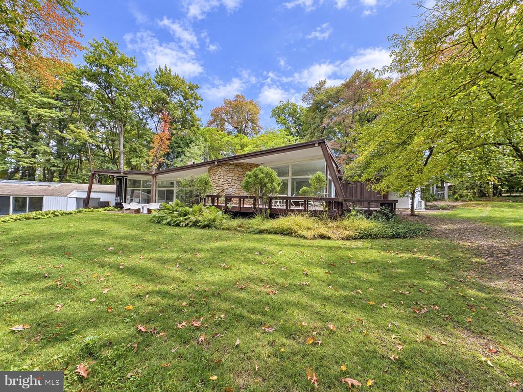
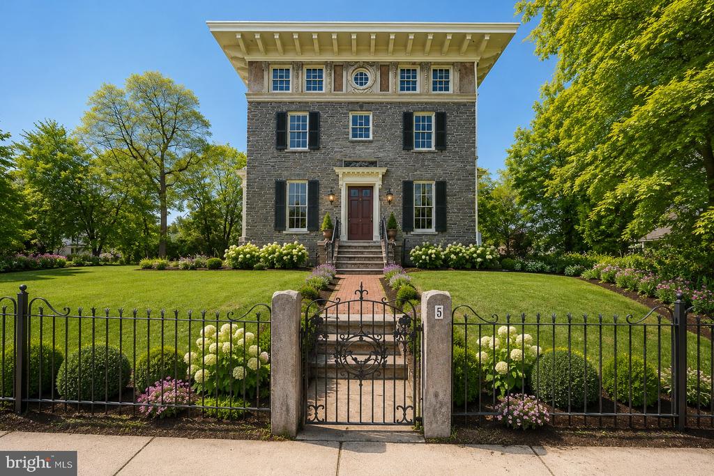
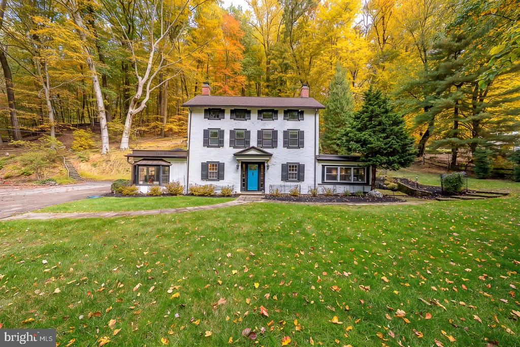
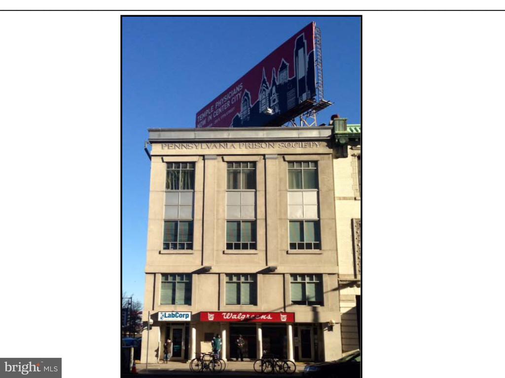
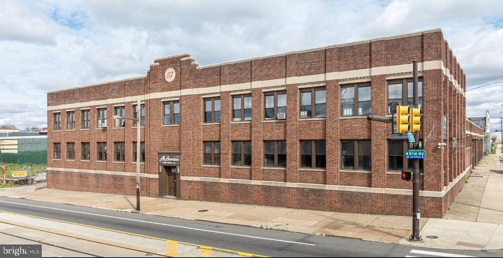
Offices:

Welcome to
Exton
There were 2,053 households out of which 20.9% had children under the age of 18 living with them.
Exton is a census-designated place (CDP) in West Whiteland Township, Chester County, Pennsylvania, United States. Its population was 4,842 at the 2010 census. The Exton Square Mall is located within Exton along with several other shopping centers, making Exton the major shopping district in Chester County. Exton is located at 40°1′59″N 75°37′40″W (40.033078, -75.627805). According to the United States Census Bureau, the CDP has a total area of 3.2 square miles (8.3 km2), all of it land.
Exton lies at the intersection of U.S. Route 30 (formerly the Lancaster Road, and later the Lincoln Highway) and Pennsylvania Route 100 (Pottstown Pike). Beginning in the late 18th century, the Lancaster Road became a major transportation route between Philadelphia and the west, while what is now Route 100 was a regional north-south route to Pottstown. A theory exists that Exton was named as the "X" on the map, denoting this intersection, though more likely the village was named after one of the several Extons in the United Kingdom.
In the late 1940s, Exton became home to the Newcomen Society of the United States. The campus of the learned society was built overlooking farmland on Newcomen Road, and featured offices, a printing shop, library and museum, guest houses, a chapel and a belltower with a carillon. The Newcomen Society sold the property in the late 1990s, but its campus remains an Exton landmark serving as the headquarters of another business.
As of the census of 2000, there were 4,267 people, 2,053 households, and 1,096 families residing in the CDP. The population density was 1,341.6 people per square mile (518.1/km²). There were 2,128 housing units at an average density of 669.1/sq mi (258.4/km²). The racial makeup of the CDP was 88.07% White, 4.05% African American, 0.14% Native American, 6.05% Asian, 0.02% Pacific Islander, 0.54% from other races, and 1.12% from two or more races. Hispanic or Latino of any race were 1.87% of the population.
There were 2,053 households out of which 20.9% had children under the age of 18 living with them, 45.4% were married couples living together, 5.8% had a female householder with no husband present, and 46.6% were non-families. 37.5% of all households were made up of individuals and 7.9% had someone living alone who was 65 years of age or older. The average household size was 2.05 and the average family size was 2.75.
In the CDP the population was spread out with 17.9% under the age of 18, 5.9% from 18 to 24, 43.3% from 25 to 44, 20.6% from 45 to 64, and 12.3% who were 65 years of age or older. The median age was 35 years. For every 100 females there were 92.6 males. For every 100 females age 18 and over, there were 90.8 males.
The median income for a household in the CDP was $68,240, and the median income for a family was $81,499. Males had a median income of $65,789 versus $42,778 for females. The per capita income for the CDP was $38,589. About 1.5% of families and 2.9% of the population were below the poverty line, including 1.1% of those under age 18 and 10.1% of those age 65 or over.
Exton is served by two public school districts, Downingtown Area School District and West Chester Area School District. Downingtown Area School District's Downingtown High School East Campus and Lionville Middle School, as well as West Chester School District's Exton Elementary, are located in Exton. Other schools in Exton are the Catholic parish school Saints Philip and James and the Church Farm School. Troy University has a learning site in Exton. Exton is home to the offices of 21st Century Cyber Charter School, a statewide cyber school that is known for being the only cyber school to make Pennsylvania's AYP (Adequate Yearly Progress) benchmark 5 years in a row.
952 people live in Exton, where the median age is 36 and the average individual income is $73,620. Data provided by the U.S. Census Bureau.
Total Population
Median Age
Population Density
Average individual Income
There's plenty to do around Exton, including shopping, dining, nightlife, parks, and more. Data provided by Walk Score and Yelp.
Explore popular things to do in the area, including Cherchies, Canter Hill Farm, and Wawa.
| Name | Category | Distance | Reviews |
Ratings by
Yelp
|
|---|---|---|---|---|
| Dining · $$ | 0.72 miles | 2 reviews | 4.5/5 stars | |
| Dining · $$$$ | 1.03 miles | 10 reviews | 3.8/5 stars | |
| Dining · $ | 1.31 miles | 21 reviews | 3/5 stars | |
| Dining | 1.32 miles | 0 reviews | 0/5 stars | |
| Dining | 1.41 miles | 2 reviews | 3.5/5 stars | |
| Dining | 1.51 miles | 0 reviews | 0/5 stars | |
| Dining · $ | 1.6 miles | 43 reviews | 1.7/5 stars | |
| Dining | 1.6 miles | 4 reviews | 4.3/5 stars | |
| Shopping | 0.92 miles | 0 reviews | 0/5 stars | |
| Shopping | 1.17 miles | 0 reviews | 0/5 stars | |
| Shopping | 1.78 miles | 0 reviews | 0/5 stars | |
| Active | 0.57 miles | 0 reviews | 0/5 stars | |
| Active | 0.72 miles | 0 reviews | 0/5 stars | |
| Active | 0.99 miles | 1 review | 5/5 stars | |
| Active | 1.15 miles | 0 reviews | 0/5 stars | |
| Active | 1.17 miles | 0 reviews | 0/5 stars | |
| Active | 1.6 miles | 0 reviews | 0/5 stars | |
| Active | 1.73 miles | 0 reviews | 0/5 stars | |
| Active | 1.78 miles | 0 reviews | 0/5 stars | |
| Beauty | 1.01 miles | 0 reviews | 0/5 stars | |
| Beauty | 1.18 miles | 6 reviews | 5/5 stars | |
| Beauty | 1.26 miles | 1 review | 5/5 stars | |
| Beauty | 1.38 miles | 24 reviews | 3.8/5 stars | |
| Beauty | 1.54 miles | 6 reviews | 4.3/5 stars | |
|
|
||||
|
|
||||
|
|
||||
|
|
||||
|
|
||||
|
|
Exton has 297 households, with an average household size of 3. Data provided by the U.S. Census Bureau. Here’s what the people living in Exton do for work — and how long it takes them to get there. Data provided by the U.S. Census Bureau. 952 people call Exton home. The population density is 5,435 and the largest age group is Data provided by the U.S. Census Bureau.
Total Population
Population Density Population Density This is the number of people per square mile in a neighborhood.
Median Age
Men vs Women
Population by Age Group
0-9 Years
10-17 Years
18-24 Years
25-64 Years
65-74 Years
75+ Years
Education Level
Total Households
Average Household Size
Average individual Income
Households with Children
With Children:
Without Children:
Blue vs White Collar Workers
Blue Collar:
White Collar:
Explore Other Neighborhoods
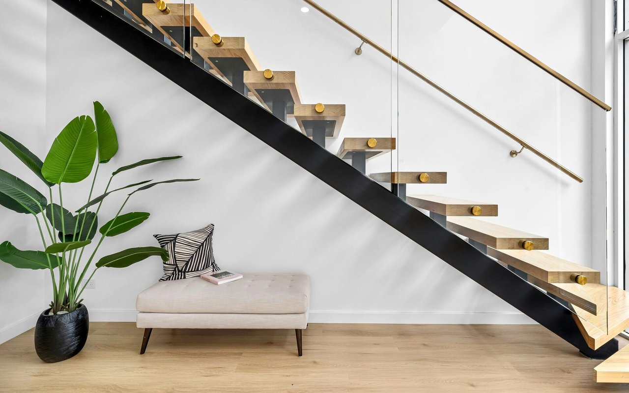
OFFICES:
OFFICES: